
Sign up for the newsletter
Explore
2
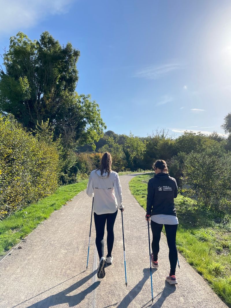
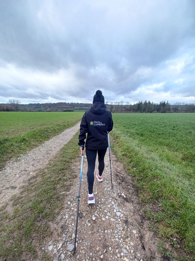
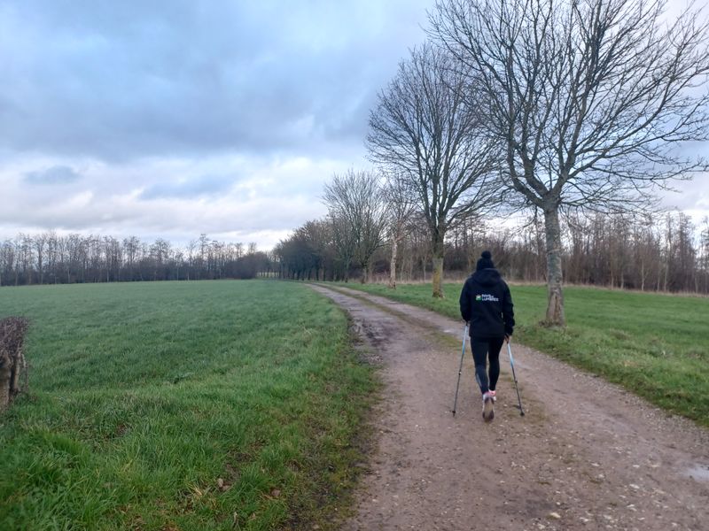
 Nordic walking
Parcours n°2 La boucle de la craie
Office de Tourisme Lumbres, Lumbres
6.72 km
Distance
1:20h-1:50h
Duration
98 m
Positive elevation
100 m
Negative elevation
122 m
Max. altitude
Easy
Difficulty
Opened
Routes
Description
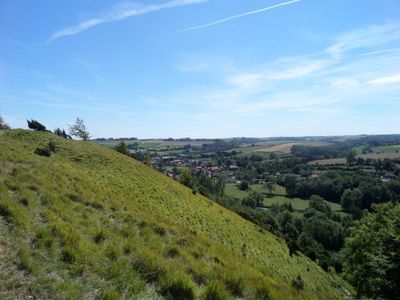
A 6.7 km course with 65 m of positive altitude difference without any particular difficulty from the Lumbres Tourist Office.
The start takes place on the left in a slight descent on the pavement that you will follow for 400 m until the roundabout to join the Rando Rail.
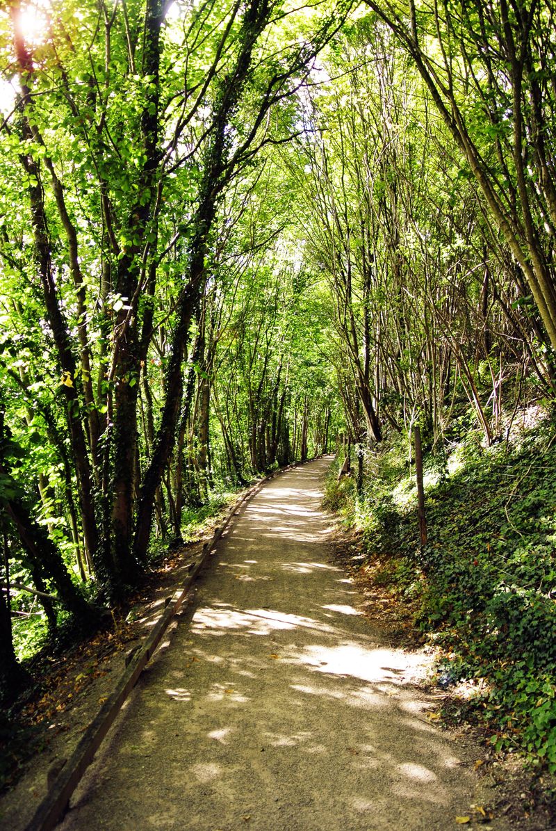
You will pass between the Bois de Prédensart and the Bois de Lannoy before crossing the D131. Then you pass in the Bois du Fays then the Rampée to finish by the Estillard before going along the water tower and take again the rue Emile Zola then François Cousin to reach the finish point.
Download the On Piste app and let it guide you along the route.
Discover the Destination
See more Destinations
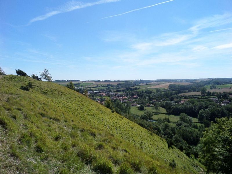
Nordic walkingPhotos
Shops, Services and Heritage Sites


You will also like
Explore the best spots!
We have picked out for you the best destinations and routes, marked out by local experts and respectful of the environments in which they take place. Routes, accommodation, courses, races, equipment, find all the good addresses and recommendations of the On Piste team to organise your next walking, cycling or skiing session. Let us guide you and don't miss any point of interest.
© 2022 On Piste
v. 1.10.0
English
Français
Spanish
Italian
Catalan